 (source: nps.gov)
Nez Perce Trail: The 1877 Flight Through Island Park and Yellowstone
12 min read · Updated June 2026
Who Were the Nimíipuu?
The people French Canadian trappers called Nez Percé call themselves Nimíipuu, "the people." Their homeland was the Wallowa, Snake, Salmon, and Clearwater country of present-day Oregon, Washington, and Idaho. Superb horsemen credited with developing the Appaloosa breed, they had been friendly to white travelers since Lewis and Clark met them on the Weippe Prairie in 1805. See our article on the Native American presence in Yellowstone for wider context.
Long before 1877, Nimíipuu hunting parties routinely crossed the Bitterroots to hunt bison and trade — using the same Lolo, Lemhi, and Targhee Pass corridors that fur-era trappers like John Colter and Jim Bridger later followed.
The Nez Perce War of 1877
A treaty dispute over the Wallowa Valley turned violent in June 1877. Roughly 750 non-treaty Nez Perce — only about 200 of them warriors — chose flight over a reservation. Led by Chief Joseph (Hin-mah-too-yah-lat-kekt), Looking Glass, White Bird, and the brilliant young war leader Ollokot, they slipped east across Lolo Pass into Montana and won a stunning defensive victory at the Battle of the Big Hole on August 9. Days later they turned south up the Bitterroot, crossed back into Idaho, and pointed for the buffalo plains — their road went straight through what is now Island Park.
Crossing Targhee Pass into Yellowstone
On August 22, 1877, the band camped at Camas Meadows just west of the present-day cabin and pulled off one of the campaign's most audacious raids — stealing nearly 200 Army pack mules from Brigadier General O.O. Howard's command in the pre-dawn dark. From Camas Meadows they pushed northeast across Henry's Lake Flats and over Targhee Pass (today's US-20, the same drive guests make to West Yellowstone) into Montana, then dropped into Yellowstone along the Madison River.
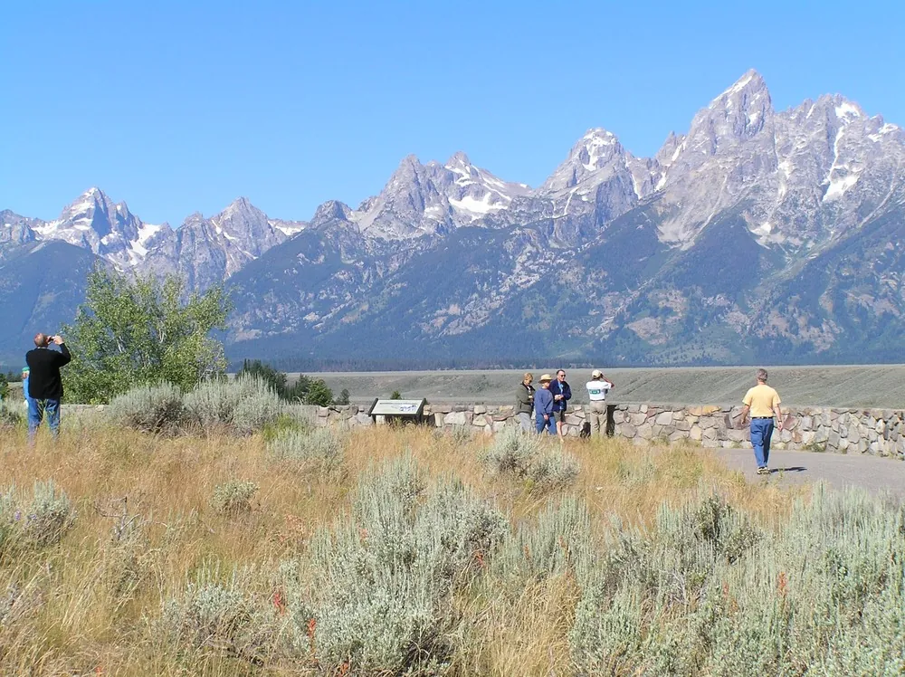
The park was only five years old — see The Creation of Yellowstone. There was no Park Service, no rangers — just civilian tourists and a poorly funded superintendent.
Tourists in the Park
Between August 23 and September 6, 1877, the Nez Perce crossed most of what is now Yellowstone — past Lower Geyser Basin, across the Central Plateau, over Mary Mountain, and up the Yellowstone River toward Pelican Valley. They encountered at least two parties of vacationers. The Cowan party, picnicking near Lower Geyser Basin, was captured; George Cowan was shot and left for dead but remarkably survived. Two men of the "Helena tourist" party were killed near Pelican Creek. These are among the very few violent incidents involving visitors in Yellowstone's entire history.
Curiously, the Nez Perce had Yellowstone knowledge the Army did not — scouts including Poker Joe and Yellow Wolf had hunted these basins for years.
The Long Escape North
Exiting through the Absaroka Range, the band skirted the new Crow Agency (the Crow declined to help), repulsed Colonel Sturgis at Canyon Creek on September 13, and turned north toward Canada. They had now traveled over 1,000 miles from the Wallowa Valley. Cold weather was setting in; horses were failing; ammunition was almost gone.
Surrender at Bear Paw
On September 30, 1877, in the Bear Paw Mountains of north-central Montana — just 40 miles from the Canadian border and refuge with Sitting Bull — Colonel Nelson Miles intercepted the band. After a five-day siege in freezing weather, on October 5, 1877, Chief Joseph rode in to surrender. The speech attributed to him — "From where the sun now stands, I will fight no more forever" — became one of the most famous in American history. (Historians debate the exact wording; the surrender itself is fact.)
 (source: nps.gov)
The Nez Perce National Historic Trail Today
In 1986, Congress designated the Nez Perce National Historic Trail (Nee-Me-Poo NHT) — a 1,170-mile commemorative route from Wallowa Lake, Oregon to the Bear Paw Battlefield. Administered by the U.S. Forest Service, it is signed with a distinctive arrow-and-tipi logo and crosses just minutes north of the cabin on US-20 at Targhee Pass. The descendants of those who fled and those who stayed are now the Nez Perce Tribe (Lapwai, ID) and the Confederated Tribes of the Colville Reservation (Nespelem, WA), where Chief Joseph and most of his band were exiled. Joseph never saw the Wallowa Valley again; he died at Colville in 1904.
Visiting Trail Sites From Island Park
Camas Meadows (ID)
About 20 minutes west of Island Park. Site of the August 1877 mule raid — Forest Service interpretive signs.
Targhee Pass (US-20)
The band's route into Yellowstone — you cross it on every drive to West Yellowstone.
Nez Perce Creek (Yellowstone NP)
Pullout on the Madison-to-Old Faithful road, where the band first encountered tourists.
Big Hole National Battlefield (MT)
About 3 hours northwest — the most moving and best-interpreted site on the trail.
Bear Paw Battlefield (MT)
A long day's drive north — the place of surrender, 40 miles from Canada.
Dates and casualty figures here are drawn from National Park Service and Forest Service interpretive materials and may vary slightly between sources. Confirm seasonal visitor-center hours before traveling.